Architecture and construction
Digitize paper drawings of buildings, building services, and details to update them or reuse them on new projects.
Correct, clean up, and vectorize scanned drawings, maps, and other documents.
Requires nanoCAD Platform. Check that you already have a compatible license or add one to your cart.
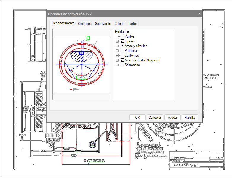
Automatic vectorization
Recognize lines, arcs, text, and other drawing elements and convert them into editable CAD objects.
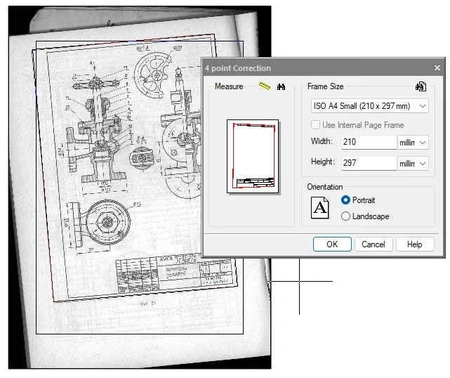
Image preparation
Deskew scans, correct distortion, and remove blemishes before you start editing.
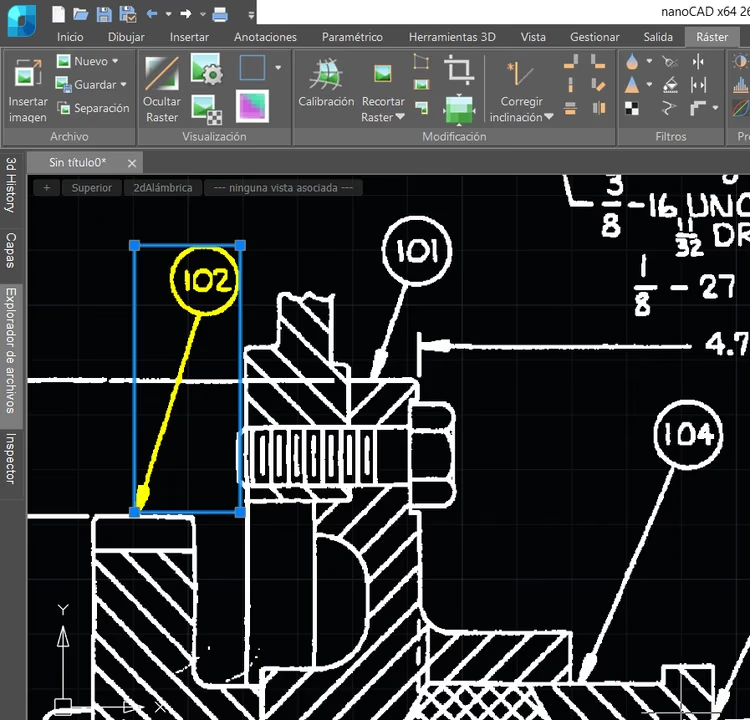
Hybrid editing
Modify selected areas and keep the rest of the drawing as a raster image in the same DWG file.
Applications
Digitize paper drawings of buildings, building services, and details to update them or reuse them on new projects.
Recover drawings of parts, machines, and templates and reuse their geometry in new designs.
Correct scanned maps, separate features by color, and combine the original image with vector data.
Choose by source format
Use nanoCAD 2D to create and edit DWG files. Add the Raster module to recover drawings from scans.
For creating and editing DWG drawings
Draft, annotate, and publish technical drawings using professional 2D tools.
Explore nanoCAD 2DFor working with scanned drawings
Add tools to nanoCAD Platform to correct, clean up, and vectorize scanned drawings.
Buy the Raster module