Topoplan module for nanoCAD 26

Terrain, profiles, and volumes

Topoplan module

Build digital terrain models, generate contours and profiles, and calculate areas and volumes.

Requires nanoCAD Platform. Check that you already have a compatible license or add one to your cart.

License term
Quantity
Try free for 30 days
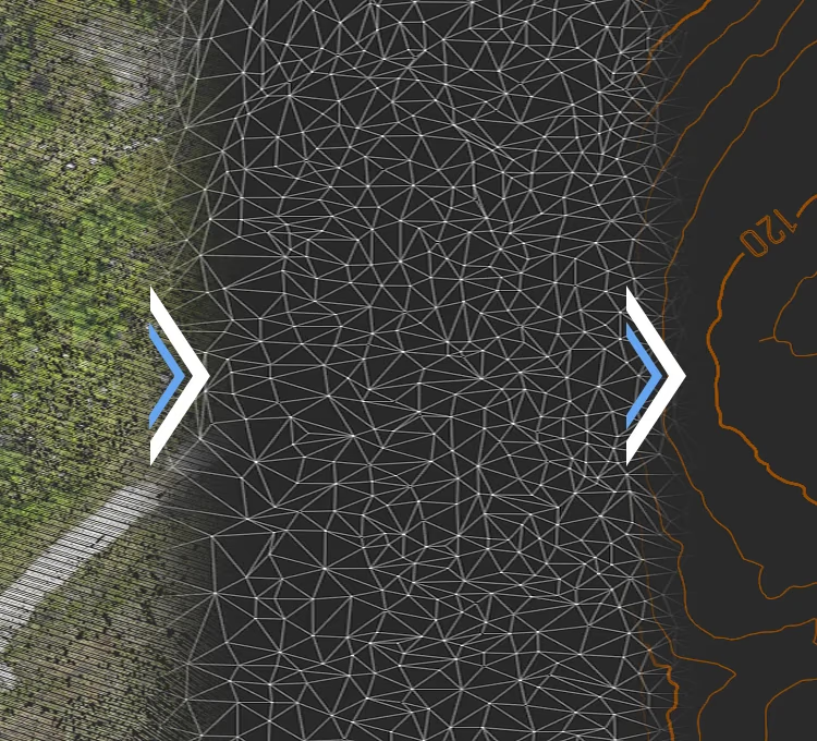
Building a surface and generating contours in nanoCAD Topoplan

Digital terrain model

Build a digital terrain model

Import survey points, elevation models, and point cloud data to build a triangulated irregular network (TIN) surface that represents the terrain.

  • Survey data. Import points from text files, elevation models, and data extracted from point clouds.
  • TIN surfaces. Build a triangular mesh and edit its vertices, edges, and boundaries.
  • Terrain visualization. Drape raster images over the surface or color it by elevation to make terrain features easier to read.
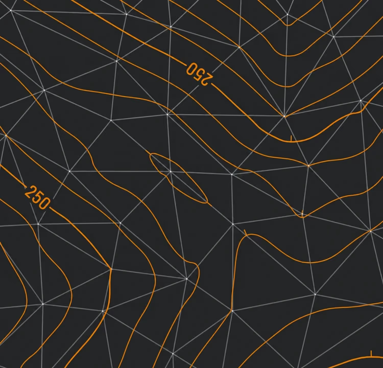
Contour lines generated from a terrain surface

Contours and profiles

Generate contours and terrain profiles

Show terrain using contours, profiles, labels, and slope markers on your survey drawing.

  • Contour lines. Set intervals, styles, and labels to make changes in elevation easy to read.
  • Terrain profiles. Draw a profile to see how elevation changes along a route.
  • Survey drawings. Add survey points, dimensions, and survey symbols to the DWG drawing.
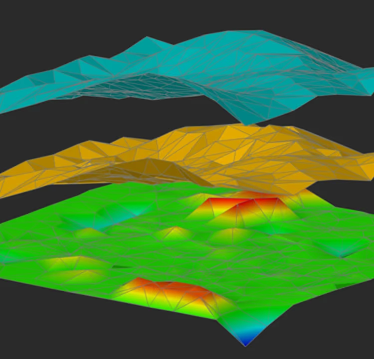
Terrain surfaces compared to calculate elevation differences and earthwork volumes

Earthworks

Calculate areas and volumes

Compare existing and proposed surfaces to calculate changes in elevation and the quantities of cut and fill.

  • Surface comparison. Find the elevation difference between existing ground and the proposed surface.
  • Cut and fill. Calculate cut and fill volumes and check the earthwork balance.
  • Surface areas. Measure the entire surface or a bounded area of the model.

Applications

How you can use nanoCAD 2D

01

Land surveying

Turn field points and measurements into a terrain model, contour lines, and survey drawings.
02

Civil engineering and land development

Analyze terrain, prepare profiles, and coordinate site data within the DWG project.

03

Earthworks

Compare surfaces, calculate cut and fill volumes, and check the earthwork balance.

Choose the right tools for your project

CAD drafting or terrain modeling?

Use nanoCAD 2D for general drafting. Add Topoplan to model, document, and analyze terrain.

For creating and editing DWG drawings

nanoCAD 2D

Draft, annotate, and publish technical drawings using professional 2D tools.

Explore nanoCAD 2D

For surveying and earthworks

Topoplan module

Extend nanoCAD Platform with TIN surfaces, contours, terrain profiles, and area and volume calculations.

Buy the Topoplan module

Start modeling terrain in nanoCAD

Try free for 30 days