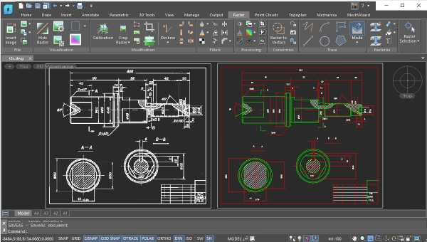
Automatic vectorization
Convert scanned drawings into editable CAD lines, arcs, circles, text, and outlines.
nanoCAD Platform + Raster
Correct, clean up, edit, and vectorize scanned drawings, maps, and other documents directly in nanoCAD.
Use the Raster module to correct and reuse scanned drawings within nanoCAD.
Straighten the image, remove blemishes, separate features by color, edit selected regions, and convert the information you need into CAD objects.
Specialized tools
Prepare the scan, clean the image, and convert the features you need to edit into CAD objects.
Convert scanned drawings into editable CAD lines, arcs, circles, text, and outlines.
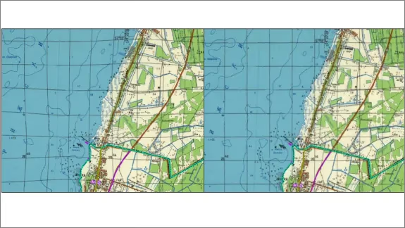
Straighten skewed images and correct distortion in scans or photographs of paper drawings and maps.
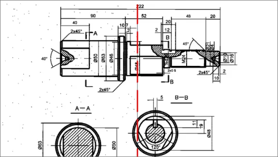
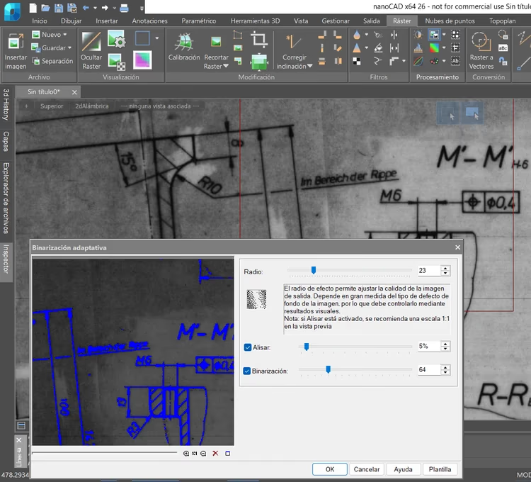
Remove specks, fill gaps, and adjust line thickness to make linework cleaner and easier to read.
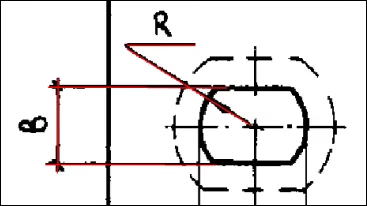
Trace individual segments, arcs, circles, and polylines without vectorizing the entire drawing.
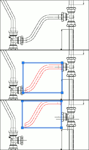
Select parts of an image to move, erase, or transfer to another layer while keeping the rest of the scan intact.
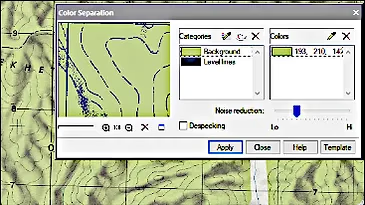
Group features of the same color on separate monochrome layers for cleanup or vectorization.
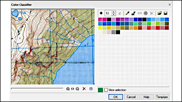
Adjust brightness, contrast, hue, saturation, gamma, and histogram levels before editing or converting an image.
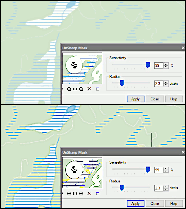
Reduce noise, smooth irregularities, and sharpen edges with median, blur, and sharpen filters.
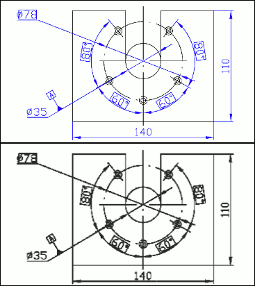
Combine CAD objects and portions of other images into a single raster image.
Also included
Adjust image size, orientation, color, and quality before adding an image to a drawing.
Work with large-format raster drawings, maps, and diagrams directly in a DWG project.
Crop an image to the area you need and adjust its dimensions and resolution for the intended output.
Rotate an image by any angle, correct skew, or flip it horizontally or vertically.
Correct perspective in a photograph or scan using four reference points on the drawing.
Convert between true color, grayscale, indexed color, and monochrome.
Classify and adjust colors to isolate features and prepare the image for editing.
Select connected pixel regions or line segments bounded by intersections and endpoints in a single operation.
Identify points, lines, arcs, circles, hatches, text, symbols, outlines, and arrowheads.