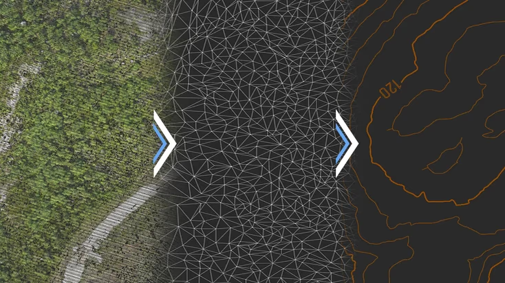
TIN surface creation
Generate surfaces from points or elevation grids and convert models to 3D faces or meshes.
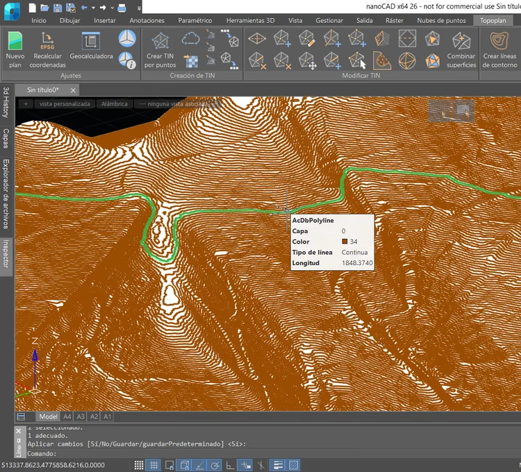
nanoCAD Platform + Topoplan
Build surfaces from survey data, generate contours and profiles, and calculate areas and volumes.
Topoplan builds digital terrain models from survey points, elevation models, and points extracted from point clouds.
Generate contours and profiles, apply textures, edit the mesh, and calculate areas and volumes from the model.
Specialized tools
Import data, build and edit surfaces, add survey features, and calculate areas and volumes.
Generate surfaces from points or elevation grids and convert models to 3D faces or meshes.
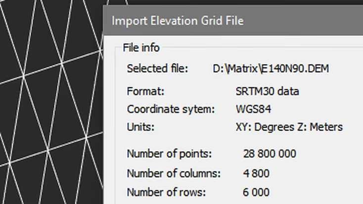
Import points from text files and digital elevation models, or extract them from point clouds already in the drawing.
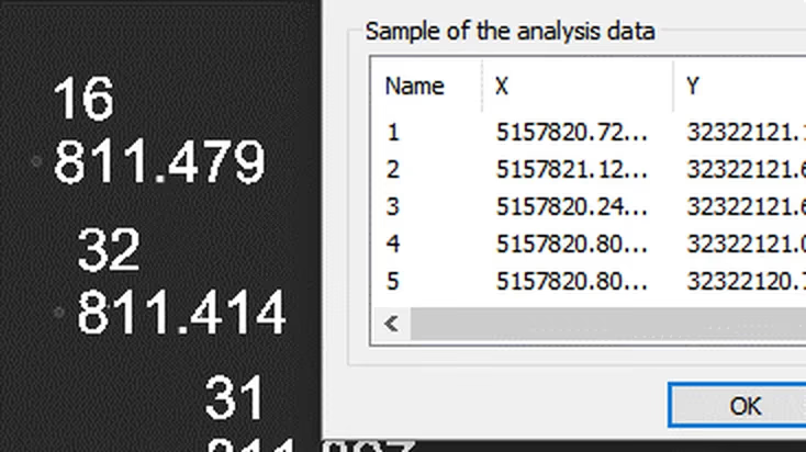
Import and export surfaces in LandXML, and share points and polylines in SHP and MIF formats.
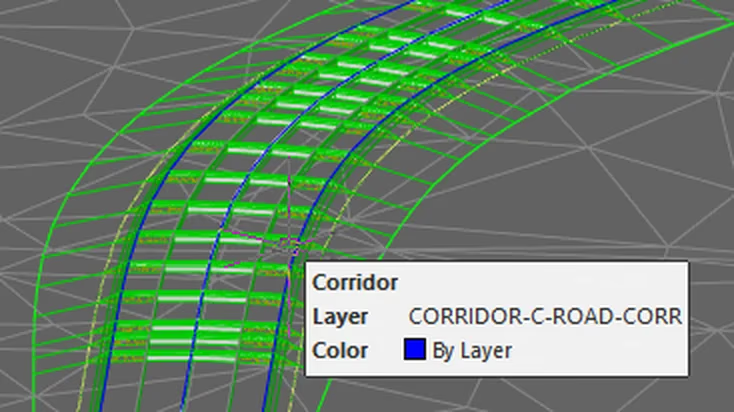
Display Civil 3D objects, inspect their properties, and adjust how they appear in the drawing.
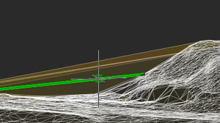
Add or move vertices, flip or delete edges, add breaklines, and adjust mesh boundaries.

Generate major and minor contours, labels, slope markers, and terrain profile lines.
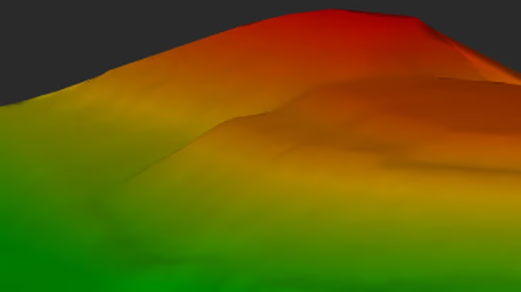
Drape raster images or point cloud textures over the surface and apply colors by elevation.
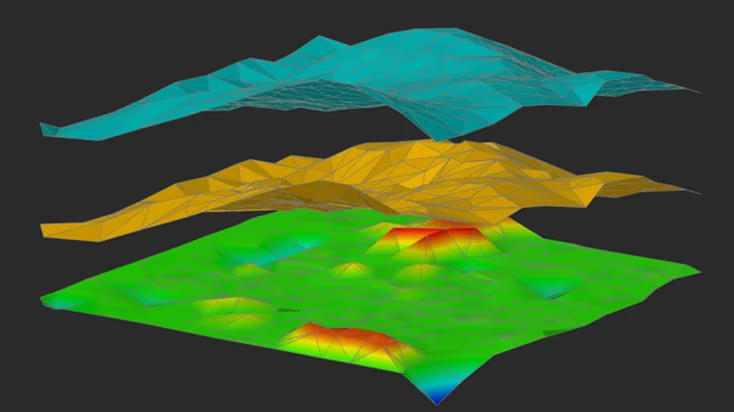
Measure areas and compare surfaces to find total volumes, volume differences, and cut and fill balances.
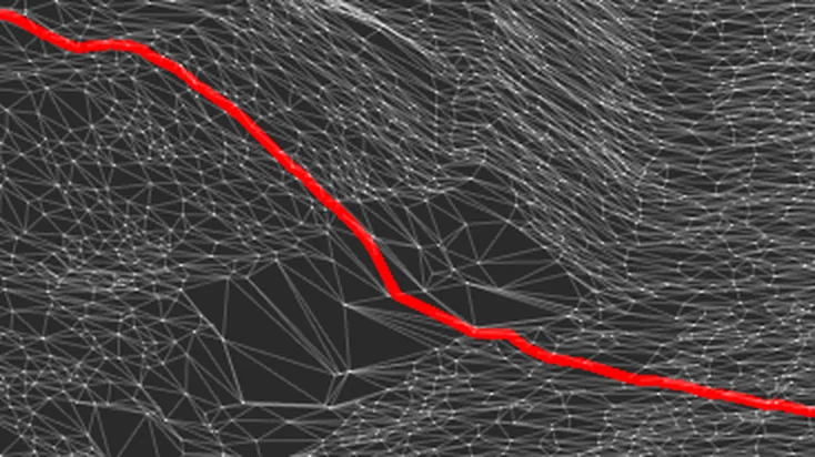
Clip and classify meshes, project lines onto a surface, and correct 3D polyline elevations.
Also included
Georeference drawings, organize survey points, and present elevation data clearly.
Import, export, and organize survey points, including their coordinates, elevations, codes, and attributes.
Insert a georeferenced basemap and clip it to the project area.
Import objects from KML or KMZ and transform them into the project coordinate system.
Tie the DWG drawing to geographic coordinates and set the project coordinate system.
Represent slopes and other areas with conventional map symbols. Adjust symbol spacing, angle, and style.
Add a legend to explain the elevation bands and colors used on a surface.
Store attributes beyond the standard fields with each survey point.
Start a drawing with metric units and settings configured for Topoplan.